
Self-Drive Mauritius
How driving works on Mauritius, and how to plan a trip around it.
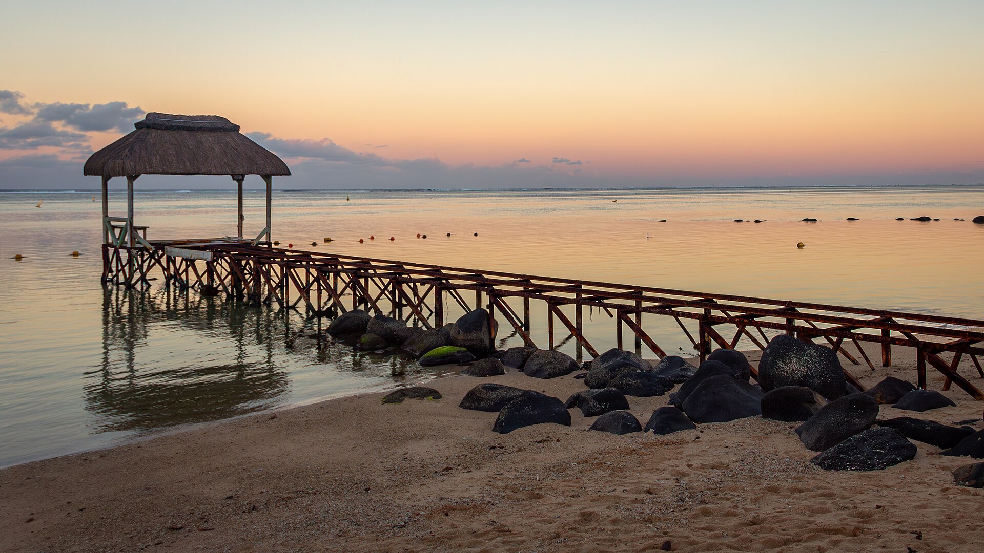
Hero image: jokin.lacalle, CC BY 2.0, via Wikimedia Commons.
Mauritius drives on the left. A motorway crosses the island from the airport in the south-east through Port Louis towards the north coast, while smaller roads follow the coast and climb into the uplands of the south-west.
Distances are short, but traffic around Port Louis and the plateau towns, and winding roads in the south and west, mean journeys often take longer than the map suggests. Rodrigues is a separate island reached by air or sea.
Driving in Mauritius: the essentials
- Side of the road
- Left
- Main roads
- M1 motorway (airport–Port Louis) and M2 (Port Louis–north)
- Licence and rules
- Check current requirements with your hire company and official sources
- Traffic
- Heavy around Port Louis and the plateau at peak times
- Upland roads
- Narrow and winding to Chamarel and the national park
- Emergencies
- Confirm current emergency numbers with your hire company on arrival
Is a hire car worth it?
A car is the easiest way to explore the south-west, the south coast and the uplands, where public transport is limited. For a beach stay in Grand Baie, Pereybère or Flic en Flac with one or two excursions, taxis and organised tours may be simpler.
Routes worth driving
- West and south-west: Flic en Flac to Le Morne along the coast, then up to Chamarel and the Black River Gorges.
- South coast: Bel Ombre east to Souillac and Gris Gris.
- North: the coast road from Pointe aux Piments to Grand Gaube, with Pamplemousses inland.
- South-east: Mahébourg north along the bay of Grand Port.
Regions to explore by car
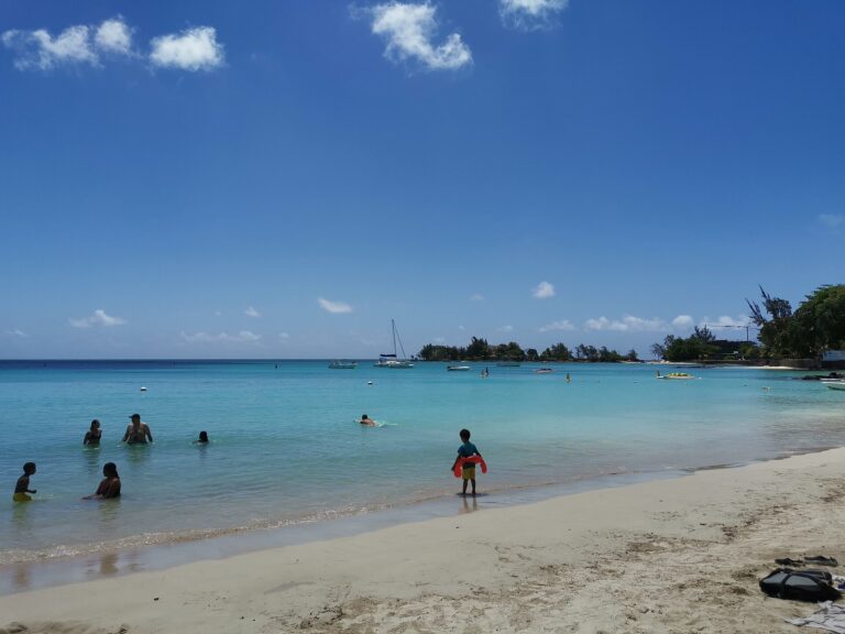 North CoastSheltered lagoon beaches, Grand Baie’s restaurants and boat trips to the northern islets.Explore North Coast
 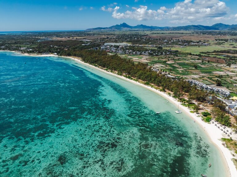 East CoastLong white-sand beaches, wide lagoons and boat trips to Île aux Cerfs, freshened by the trade winds.Explore East Coast
 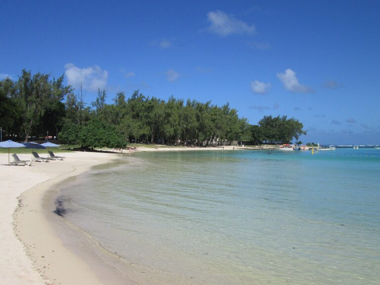 South-East CoastHistoric Mahébourg and the Blue Bay lagoon, the closest coastal base to the international airport.Explore South-East Coast
 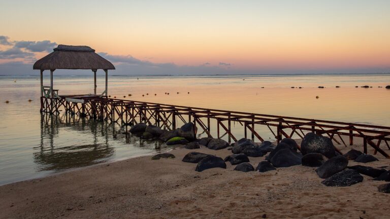 South CoastThe island’s wildest coast, with cliffs at Gris Gris and the resort area of Bel Ombre.Explore South Coast
  West & South-WestCalm lagoons and sunsets from Flic en Flac to Le Morne, with Chamarel and the Black River Gorges inland.Explore West & South-West
  Port Louis & Central PlateauThe capital’s markets and heritage sites, and the cooler towns and sacred lake of the uplands.Explore Port Louis & Central Plateau
 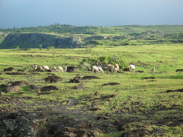 RodriguesA quiet, autonomous outer island far to the east, with Port Mathurin, wide lagoons and open hills.Explore Rodrigues
 Official sources
Opening hours, entry fees, boat and transport schedules, access rules and park conditions change; check the official source before you travel.
Where do you want to start?
Choose a region, then use its guide to plan the rest of your trip.